Key takeaways:
- Hurricane Otis rapidly intensified from a tropical storm to a Category 5 hurricane Tuesday night.
- The U.S. National Hurricane Center warned of “catastrophic damage” where the core of the hurricane moves onshore.
- The Mexican government has issued a hurricane warning for the coast of Guerrero state and a tropical storm warning for the coast of Michoacan state.
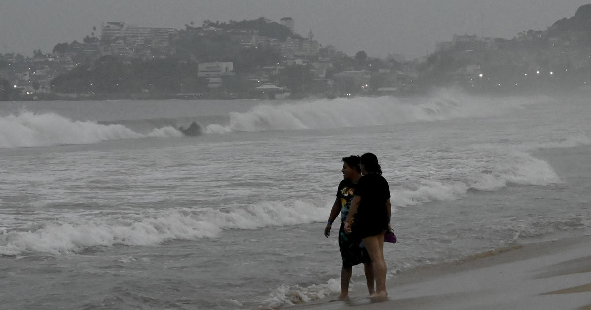
Residents of Mexico’s southern Pacific coast are bracing for the impact of Hurricane Otis, which rapidly intensified from a tropical storm to a Category 5 hurricane Tuesday night.
The U.S. National Hurricane Center said Otis had maximum sustained winds of 160 mph late Tuesday, with hurricane-force winds extending up to 30 miles from its center. The storm is expected to make landfall near the resort of Acapulco early Wednesday, causing catastrophic damage.
The hurricane center warned that “catastrophic damage is likely where the core of the hurricane moves onshore.” It is forecast to remain a Category 5 hurricane through landfall, but rapid weakening is expected due to the higher terrain of Mexico.
The Mexican government has issued a hurricane warning for the coast of Guerrero state, from Zihuatanejo to Punta Maldonado, and a tropical storm warning for the coast of Michoacan state, from Lazaro Cardenas to Punta San Telmo.
Residents of the affected areas are urged to take all necessary precautions and follow the instructions of local authorities. The Mexican government has set up emergency shelters in the region and is providing assistance to those in need.


Be First to Comment