Key takeaways:
- Hurricane Hilary is forecast to dump heavy rain after hitting Mexico.
- John Moore, a meteorologist and spokesperson for the National Weather Service, warns that it is important to be prepared for a storm before it arrives.
- In Mexico City, Hilary strengthened into a hurricane off Mexico’s Pacific coast Thursday, and it could bring heavy rain to the U.S. southwest by the weekend.
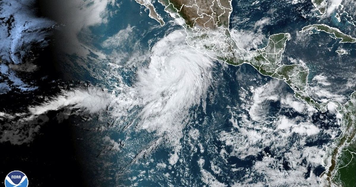
Southern California is bracing for the first major threat of the Atlantic hurricane season, as Hurricane Hilary is forecast to dump heavy rain after hitting Mexico. According to the U.S. National Hurricane Center, Hilary had maximum winds of 85 mph (140 kph) and was expected to strengthen into a major hurricane and perhaps skim the coast of the Baja California peninsula by the weekend.
John Moore, a meteorologist and spokesperson for the National Weather Service, warns that it is important to be prepared for a storm before it arrives. “You want to know what you’re going to do well before the season starts, because it’s going to be hard to get everything in place if you’re threatened by a storm or a storm forms and you don’t have a week to prepare,” he said.
The hurricane was moving west-northwest at 14 mph (22 kph) and was expected to take a more northward turn, toward the U.S. border. It was expected to become a major hurricane by Friday and perhaps skim the sparsely populated western edge of the Baja coast.
In Mexico City, Hilary strengthened into a hurricane off Mexico’s Pacific coast Thursday, and it could bring heavy rain to the U.S. southwest by the weekend. To stay safe, it is important to be prepared for a storm before it arrives, as different levels of preparedness are needed depending on your location.


Be First to Comment