Key takeaways:
- The National Weather Service’s Storm Prediction Center has issued a rare “high risk” Level 5 out of 5 alert for parts of the Midwest and Mid-South, impacting nearly 3 million people.
- Severe weather in the form of damaging wind gusts, large hail, and several tornadoes are expected in the area.
- The Storm Prediction Center is urging people in the affected areas to take the necessary precautions and to stay alert for further updates.
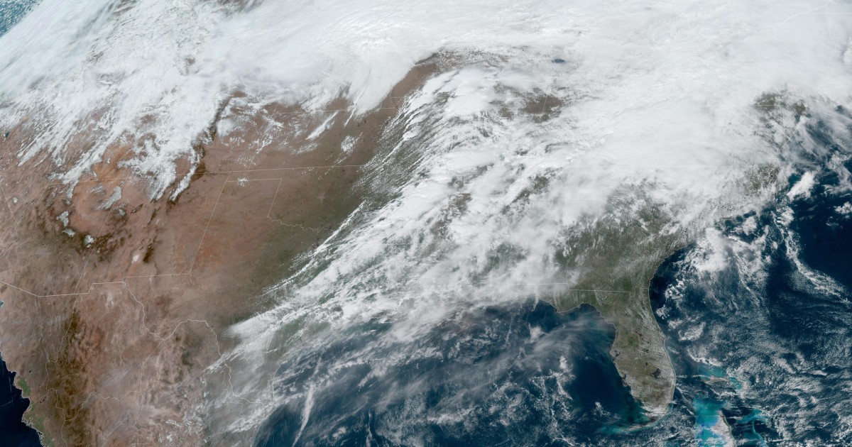
The National Weather Service’s Storm Prediction Center has issued a rare “high risk” Level 5 out of 5 alert for parts of the Midwest and Mid-South, impacting nearly 3 million people. The alert covers a large area from northern Iowa to Louisiana, and includes 51 million people.
The Storm Prediction Center said that environmental conditions are quickly becoming favorable to support the potential for numerous strong to potentially violent and long-track tornadoes. High risk areas include portions of southeastern Iowa, northwestern Illinois and northeastern Missouri, and includes places like Davenport, Iowa, and Iowa City.
The agency warned that severe weather in the form of damaging wind gusts, large hail, and several tornadoes are expected in the area. The hail could reach up to apple size, and wind gusts could reach up to 70 mph.
The Storm Prediction Center is urging people in the affected areas to take the necessary precautions and to stay alert for further updates. They are also reminding people to have a plan in place in case of an emergency.
High risk days are exceedingly rare and are “reserved for when high confidence in severe weather is expected”, according to the Storm Prediction Center. People in the affected areas should take the necessary precautions and stay alert for further updates.


Be First to Comment