Key takeaways:
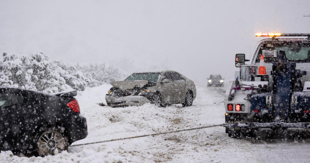
- Residents of high desert communities and Southern California valleys were surprised to wake up to a fresh dusting of snow on Saturday.
- The National Weather Service warned that the storm is still having significant impact and urged residents to take caution and avoid unnecessary travel.
- The storm is expected to move out of the area by Sunday, leaving behind a blanket of snow and a reminder of the power of nature.
Residents of high desert communities and Southern California valleys were surprised to wake up to a fresh dusting of snow on Saturday, as a mix of a relatively warm atmospheric river and cold air from the Gulf of Alaska swept through the area. The National Weather Service reported that the cold front turbocharged by tropical precipitation brought rare snow to some urban Southern California rooftops and heavy rain that prompted multiple swift-water rescues.
This powerful winter storm, one of the strongest to ever hit Southern California, brought wind and rain and even snowfall down to elevations as low as 1,000 feet. Hills around suburban Santa Clarita, north of Los Angeles, were blanketed in white, and snow also surprised inland suburbs to the east.
In Michigan, the number of homes and businesses without power dropped to below 350,000 Saturday from nearly 800,000 Thursday, according to grid tracker PowerOutage.us.
The National Weather Service warned that the storm is still having significant impact and urged residents to take caution and avoid unnecessary travel. They also urged people to be aware of the potential for flooding, mud and debris flows, and other hazardous conditions.
The storm is expected to move out of the area by Sunday, leaving behind a blanket of snow and a reminder of the power of nature.


Be First to Comment